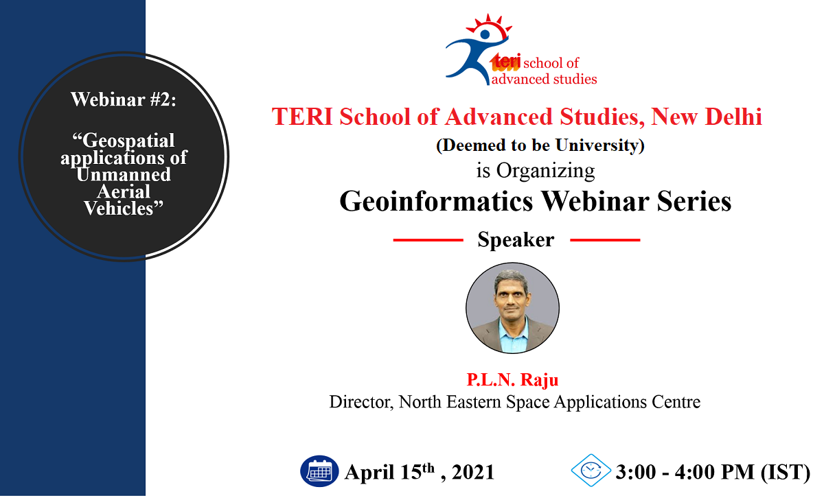
Unmanned Aerial Vehicles aka UAVs, also called drones, are something that has acquired a lot of prominence in the civilian as well as the military discourse all around the world. The second webinar titled ‘Geospatial applications of Unmanned Aerial Vehicles’ of the Geoinformatics Webinar Series held on 15th April 2021 educated the participants about UAVs and their geospatial applications.
Mr PLN Raju, Director, North Eastern Space Applications Centre enlightened the participants about UAVs geospatial applications and to the extent UAVs have become a part of modern life from vegetation structure mapping to urban modeling and precision agriculture.

