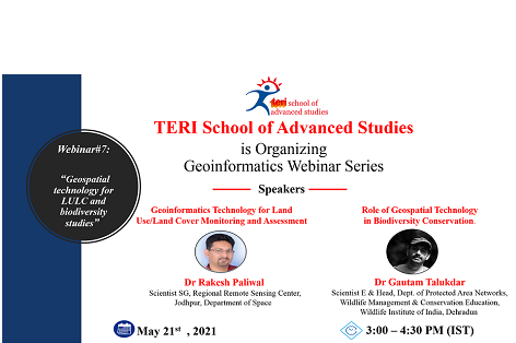
The seventh webinar of the Geoinformatics Webinar Series will educate the participants on the use of Geoinformatics technology in Land Use and Land Cover (LULC) and Biodiversity Conservation.
LULC maps help in understanding the landscape and enable monitoring of temporal dynamic of agriculture ecosystems, forest conservation and surface water bodies etc.
Geoinformatics technology is also very useful in Biodiversity Conservation as various tools of Geoinformatics can help in obtaining real-time information about flora and fauna of any region which eventually helps in devising effective strategies for Biodiversity Conversation.
Therefore, it will be an enlightening session.
Please register at:
https://forms.office.com/Pages/ResponsePage.aspx...

