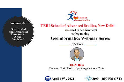
The second webinar of the Geoinformatics Webinar Series will focus on state-of-art of Unmanned Aerial Vehicles (UAVs) and its geospatial applications. There are plenty of applications of UAVs or drones ranging from vegetation structure mapping to urban modeling and precision agriculture.
Mr PLN Raju, Director, North Eastern Space Applications Centre will be the speaker for the webinar and this provides an excellent opportunity to the participants to learn about myriad geospatial applications of UAVs.
Please register at:
https://forms.office.com/Pages/ResponsePage.aspx...

